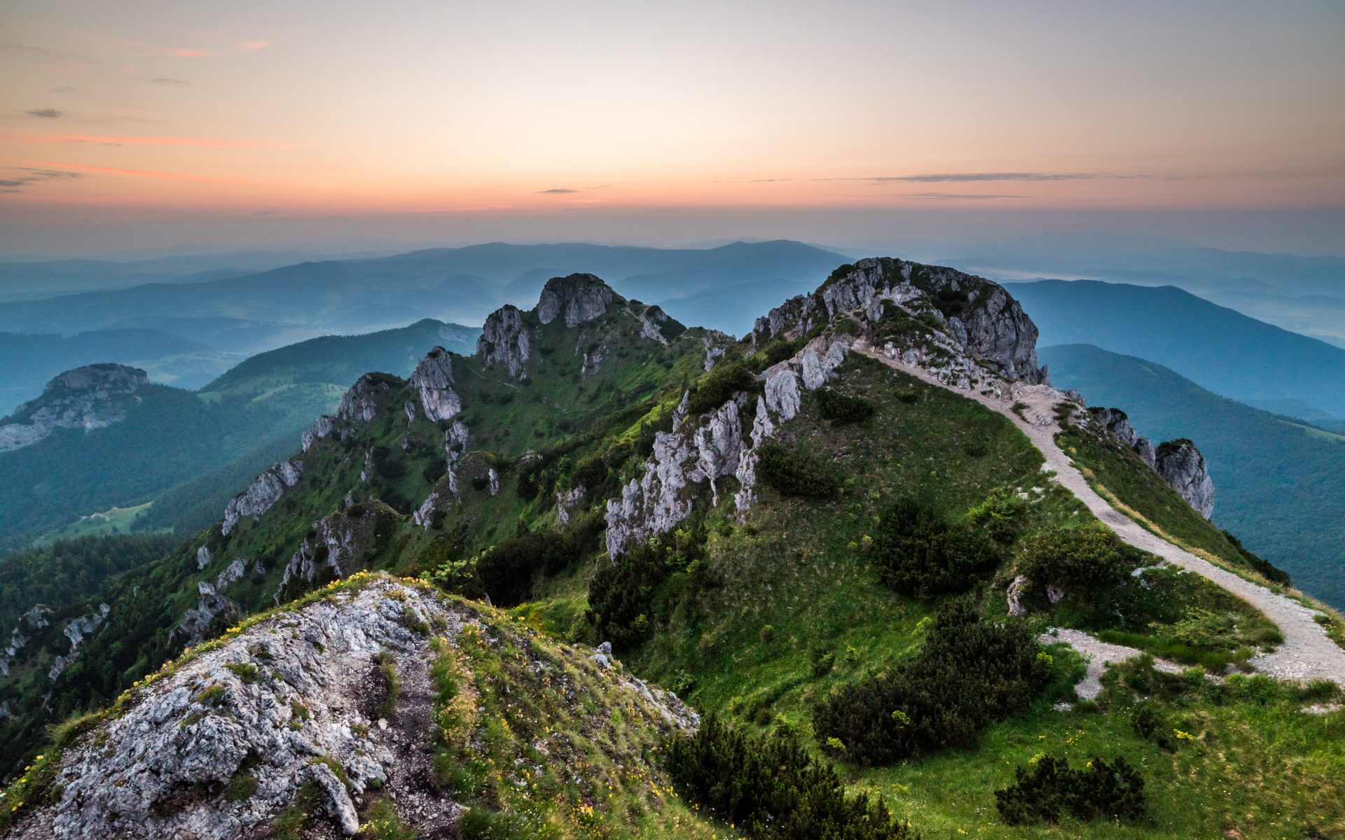
Veľký Rozsutec (1,610 m above sea level) is one of the most beautiful mountains in Slovakia. It is considered a symbol of the Kriváň section of the Malá Fatra Moutnains and is a popular destination for hikers. The ascent is challenging and demanding, involving a significant elevation gain and it passes through a national nature reserve. Endemic, rare, and unusual species of flora and fauna can be found here. Some plant communities are unique in Slovakia. About 2,000 species of animals live here, including almost all species of protected plants in the Slovak Republic. Some sections of the trail in the summit area can be very dangerous, especially during spring and autumn frosts. The summit itself offers enchanting panoramic views. On clear days, you can see Babia hora and Pilsko, Kubínska hoľa, the Western Tatras, the entire Low Tatras ridge, Kráľová hoľa, Choč, Veľká Fatra, Martinské hole, a large part of the Malá Fatra ridge and even Lysá hora in the Moravian-Silesian Beskids. How to get there? There are three different routes to the top of Veľký Rozsutec: The most common route starts from the settlement of Štefanová in Terchová and follows the green tourist trail. From Medziholie to Veľký Rozsutec, exposed sections are secured with chains. From this side, hikers can enjoy beautiful views throughout the entire climb. The climb has an elevation gain of 973 metres and can be completed in 3 hours. If you choose the route from Biely Potok through Jánošík’s Holes (Jánošíkove diery), expect a greater elevation gain and a longer climbing time (4 hours, elevation gain 1,129 m). The ideal choice for more experienced hikers is the circuit from Štefanová through Medzirozsutce. The first part of the hike from the settlement of Štefanová to Podžiar follows the educational trail Štefanová - Diery. From Podžiar, the route branches off from the educational trail and continues through the Upper Holes (Horné Diery), a rocky canyon with ladders and footbridges over a stream and waterfalls. From Medzirozsutce Saddle, the trail connects to the red ridge trail, which leads to the summit of Veľký Rozsutec. The descent to Medziholie is steep with rocky and scree slopes secured by chains in some sections. The final section of the route from Medziholie to Štefanová follows an easy forest trail. This route is one of the most difficult, with an elevation gain of more than 1,200 metres. It can be completed in 6.5 hours.
Galéria
Žilinský turistický kraj
Dobrý deň, hľadáte tip na výlet, podujatie, niečo pre deti alebo cyklotrasu? Napíšte mi.
 Upper Považie Region