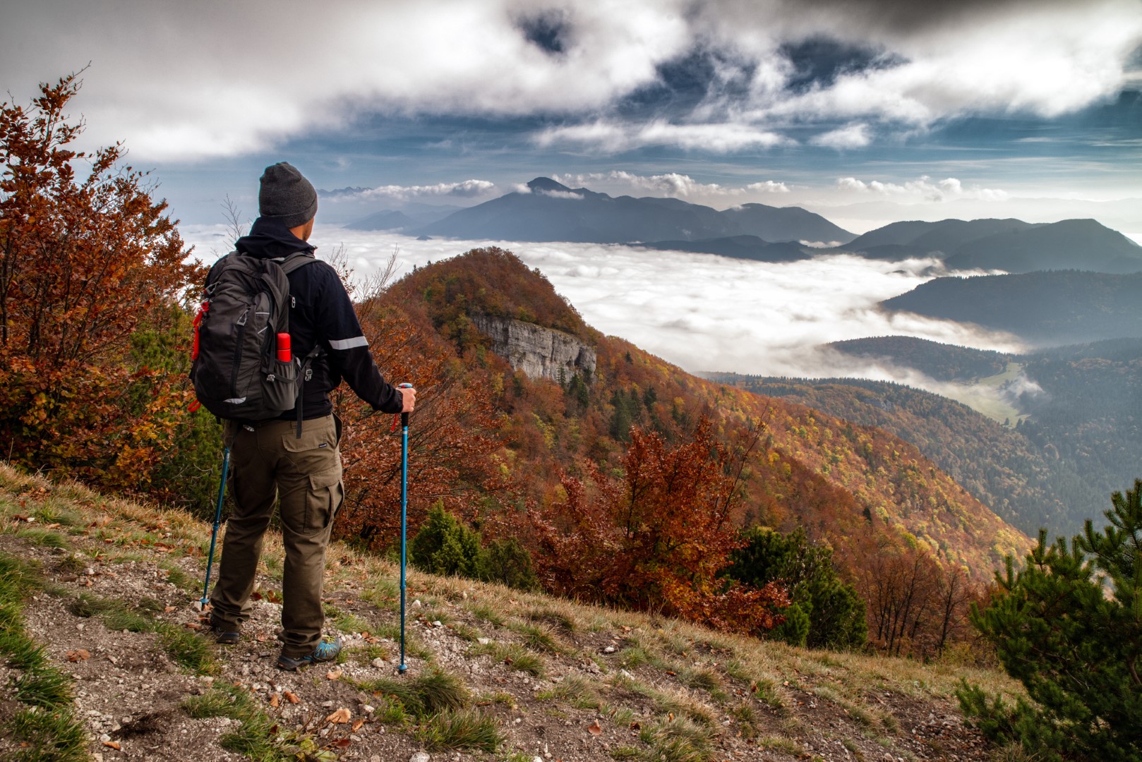
Šíp rises directly above the confluence of the Rivers Orava and Váh. From its summit, you can enjoy views of the surrounding villages, much of Veľká Fatra, the Choč Mountains, and, on clear days, even the High and Low Tatras. Hiking trails from Stankovany, Kraľovany and Žaškov lead to Šíp. The hiking trail is interesting because there are several caves and many interesting rock formations. You will also find numerous wells and springs. Along the trail, you will find viewpoints offering sights of Stoh and Veľký Rozsutec, and you will certainly have a nice view of Veľký Choč and the surrounding villages. Before climbing Šíp itself, be sure to visit the unique rock formation known as Šíp Window. It is a little tricky to find. An unmarked side path from the hiking trail leads there, and you will need to climb over some rocks. At the summit of Zadný Šíp (literally “Rear Šíp”) there is a wooden cross, which according to legend has been there since the times of St. Cyril and Methodius. It has been replaced several times, but it still stands in the same place. The settlement of Podšíp, through which the trail passes, is also worth a short stop. Well- preserved wooden houses, which enthusiasts have restored to their original form, represent a unique open-air museum. You can have a picnic or barbecue at the public fireplace with a view of Veľký Rozsutec. How to get there? We recommend taking the circular route from Stankovany. Follow the yellow trail to Žaškov Saddle (Žaškovské sedlo), continue over Šíp and Zadný Šíp, and then descend to the Podšíp settlement. From there, follow the green trail back to Stankovany. The descent to the settlement of Podšíp is quite steep, and the forest path covered with leaves can be slippery even when dry, so hiking poles will definitely be helpful. The suggested route will take you approximately 5 hours. If you choose to climb the yellow trail from Kraľovany, it takes 2.5 hours from the railway station. The climb from the village of Žaškov via the green trail and then the yellow trail also takes approximately 2.5 hours. Parking A parking lot is located behind the bridge on the main road Žilina - Ružomberok and there is a smaller one in the village, next to the cemetery.
Galéria
Žilinský turistický kraj
Dobrý deň, hľadáte tip na výlet, podujatie, niečo pre deti alebo cyklotrasu? Napíšte mi.
 Liptov