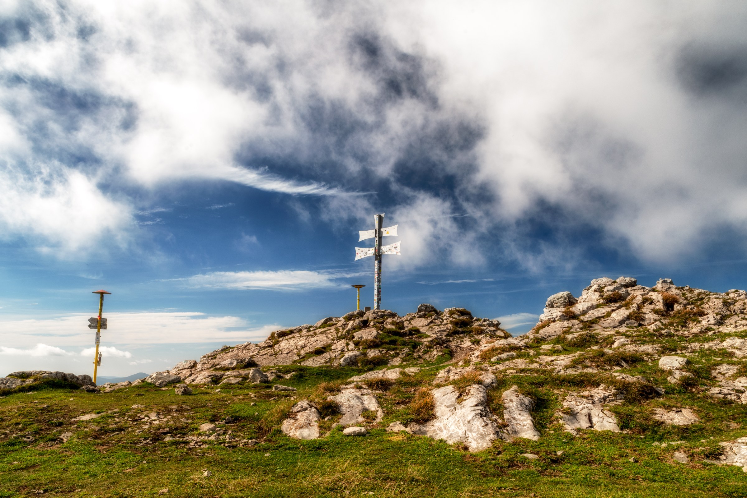
The symbol of the Rajec Valley is undoubtedly Kľak (1,352 m above sea level). This distinctive rocky peak in the southern part of the Lúka section of the Malá Fatra Mountains offers excellent views. It offers a panoramic view of the surrounding mountains and its unmistakable appearance attracts many hikers. At the summit, there is a Slovak double cross and a panoramic signpost that allows you to identify the surrounding peaks. An interesting fact The Malá Fatra range is divided into the Kriváň section and the Lúka section, which are separated by the Váh Gorge. They were named after the highest points of each branch – Veľký Kriváň and Veľká Lúka. How to get there? The well-trodden trail leading from Fačkov Saddle (Fačkovské sedlo) alternates between meadows and forests. The hike will take you no more than half a day, but be prepared for a significant elevation gain. A relatively demanding part of the hike is the climb to Reváň; especially during the rainy season, the trail becomes harder to walk and at some points more difficult to navigate. At the Pod skalou junction, where the green hiking trail from Vrícko to Kľak branches off, you can take a detour to the 30-metre Kľak Waterfall by following the green trail toward Vrícko. However, it is a longer detour, which adds at least 1.5 hours to the route. There used to be a mountain cottage at the junction; its foundations remain, along with a vintage photograph displayed on a rock. It is only 10 minutes from the junction to the summit of Kľak. If you do not want to take the same route back, you can descend to the village of Fačkov via the blue trail. The path is fairly steep with switchbacks, winding through forest without views, and leads down to the valley, where a dirt road takes you to the village of Fačkov. You can descend via Malý Kľak to the Čičmany junction along the green trail. Parking There is a public paid parking lot at Fačkov Saddle.
Galéria
Žilinský turistický kraj
Dobrý deň, hľadáte tip na výlet, podujatie, niečo pre deti alebo cyklotrasu? Napíšte mi.
 Upper Považie Region